Github repo. And by plotting, I mean both converting vector coordinates and tracing the result on a piece of paper. Because it all starts with a pen plotter and a love for mini planets. It always amazes me when I seem to be the only person on the planet to have a given problem. No …
Tag: penplotter
Calcomp Pacesetter 2024/2036 Manual
I salvaged a pen plotter from the early ’90s. The owner, a retired architect, was ready to free up some space in their home after decades of disuse. The unit was in fair condition and required hardly any maintenance: some cleaning, tightening of a belt, and a slide rail that needed lubrication; after that, it …
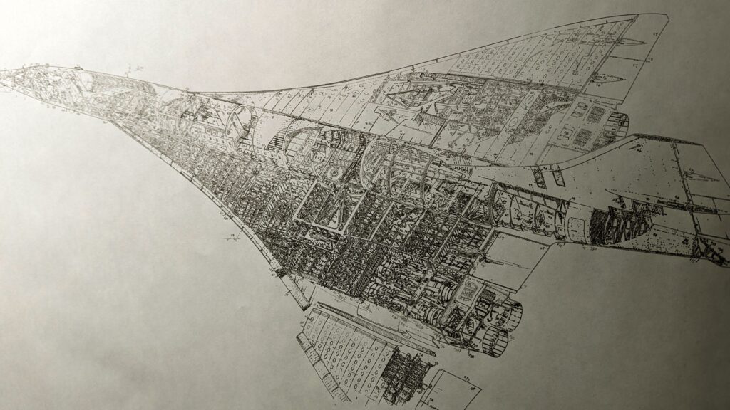
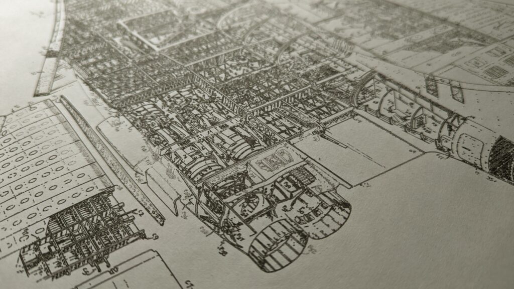
I can’t believe I never used my axidraw for blueprints before.
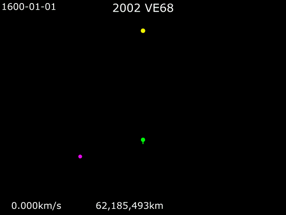
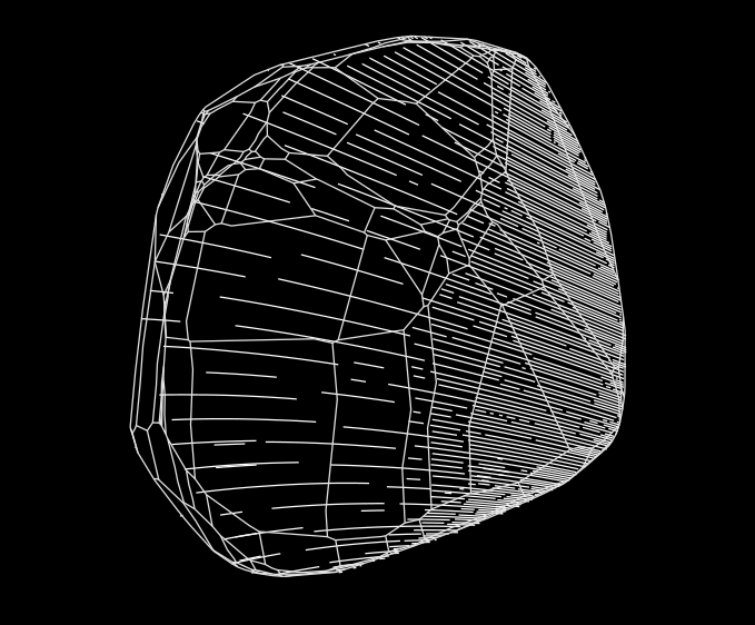
ZOOZVE is just begging to be pen-plotted.
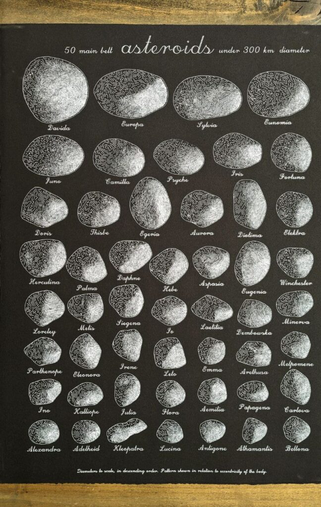
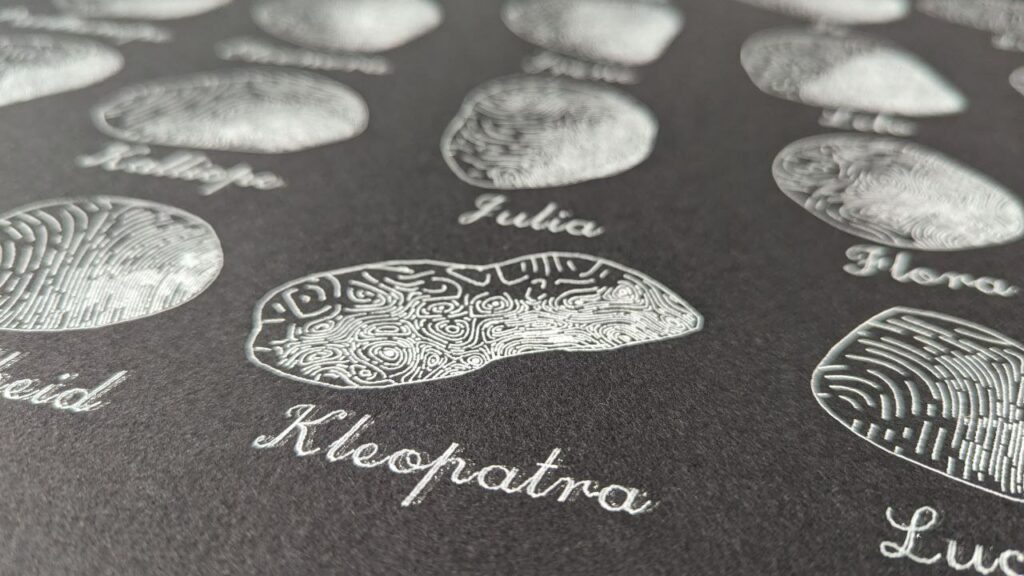
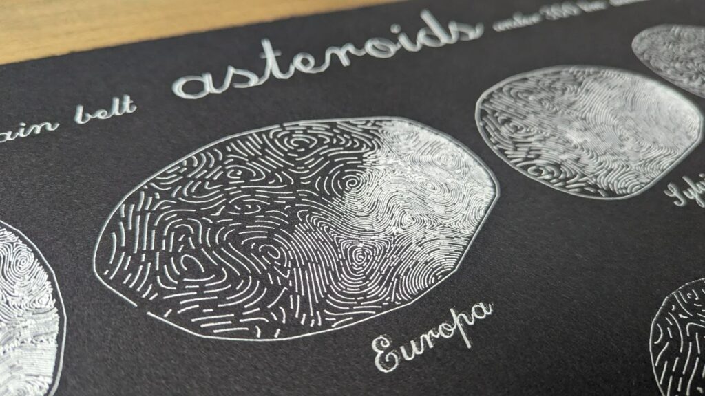
“50 edgy ladies” Another large-scale poster plotted with the #axidraw SE/A1. I’ve been trying to put to rest a slight obsession with asteroids. Made with data from DAMIT and JPL Small Body API. And some vpype-fu.
I’ve been re-ordering my stash of drafts and found some experiments I totally forgot about, like this netrunner straight outta Neuromancer.
I finally took my new axidraw SE/A1 for a drive. Plotting in large format presents new challenges, but the result is completely worth it.
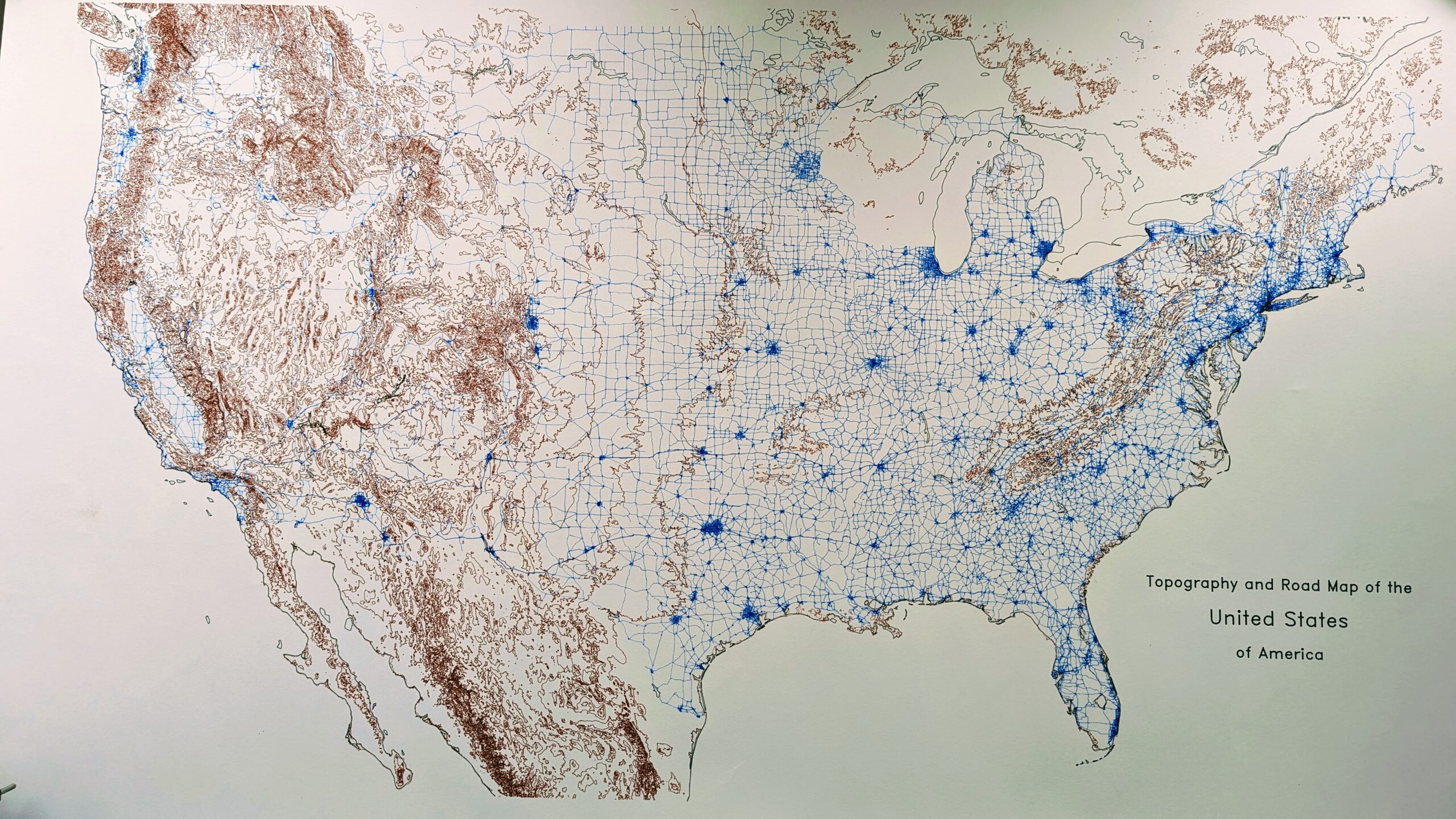
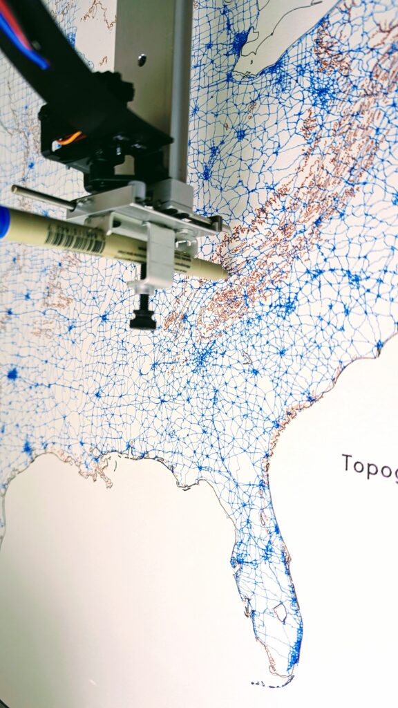
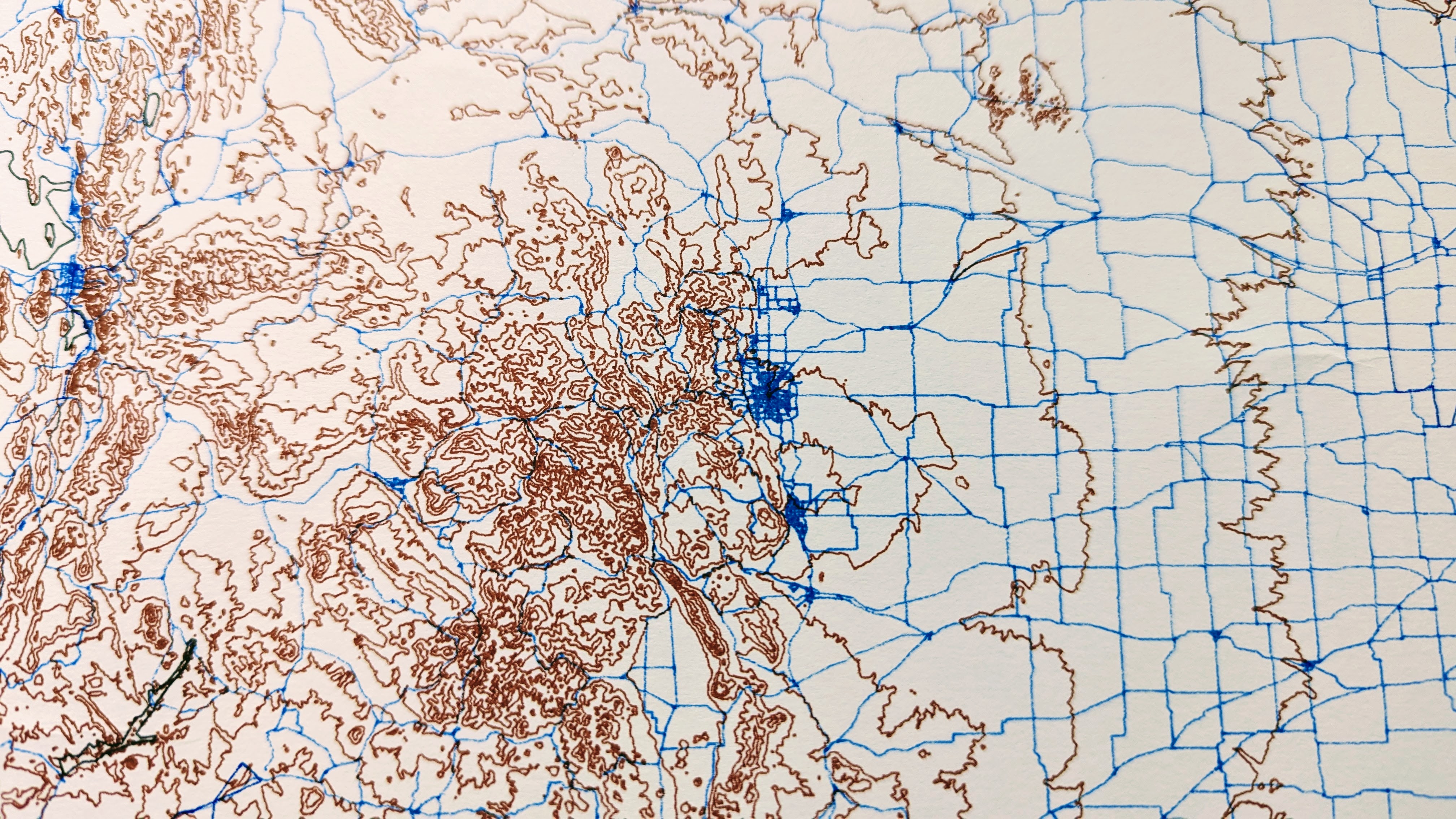
This map was largely motivated by a recent cross-country trip. The question, always in my mind, was: where are all the tunnels in the US? The answer is clear from this map. The US doesn’t do tunnels. It does valleys and mountain passes.
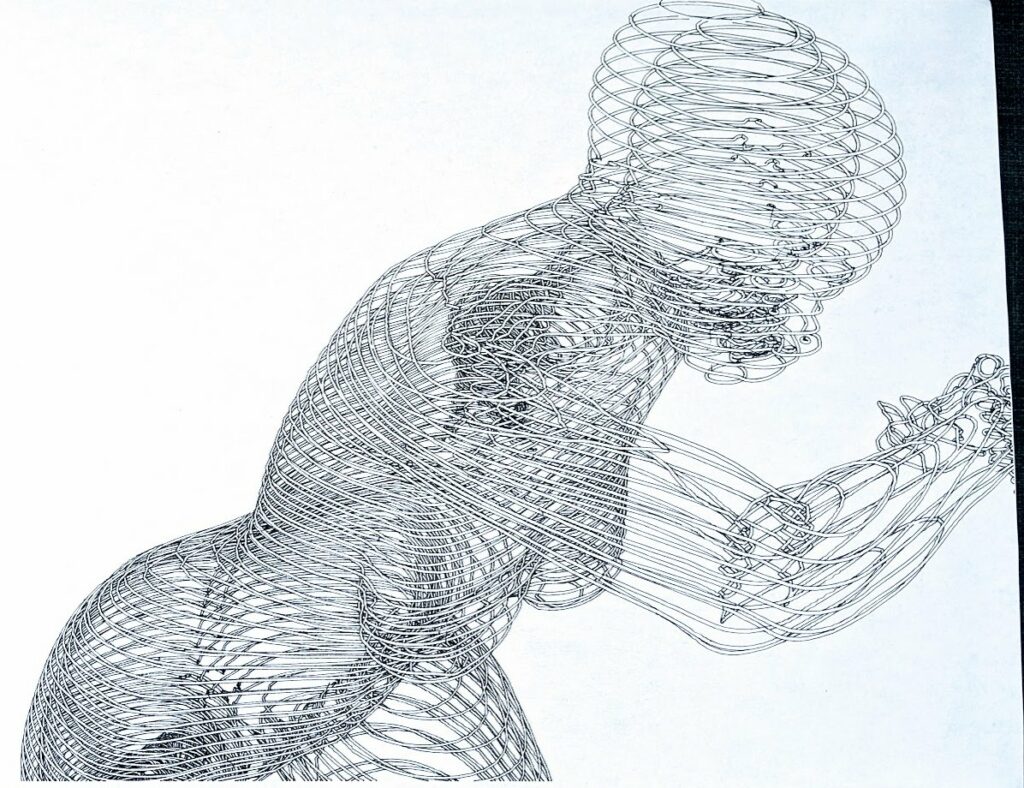
Back to some kinematics! All spruced up with a tangential fill pattern.
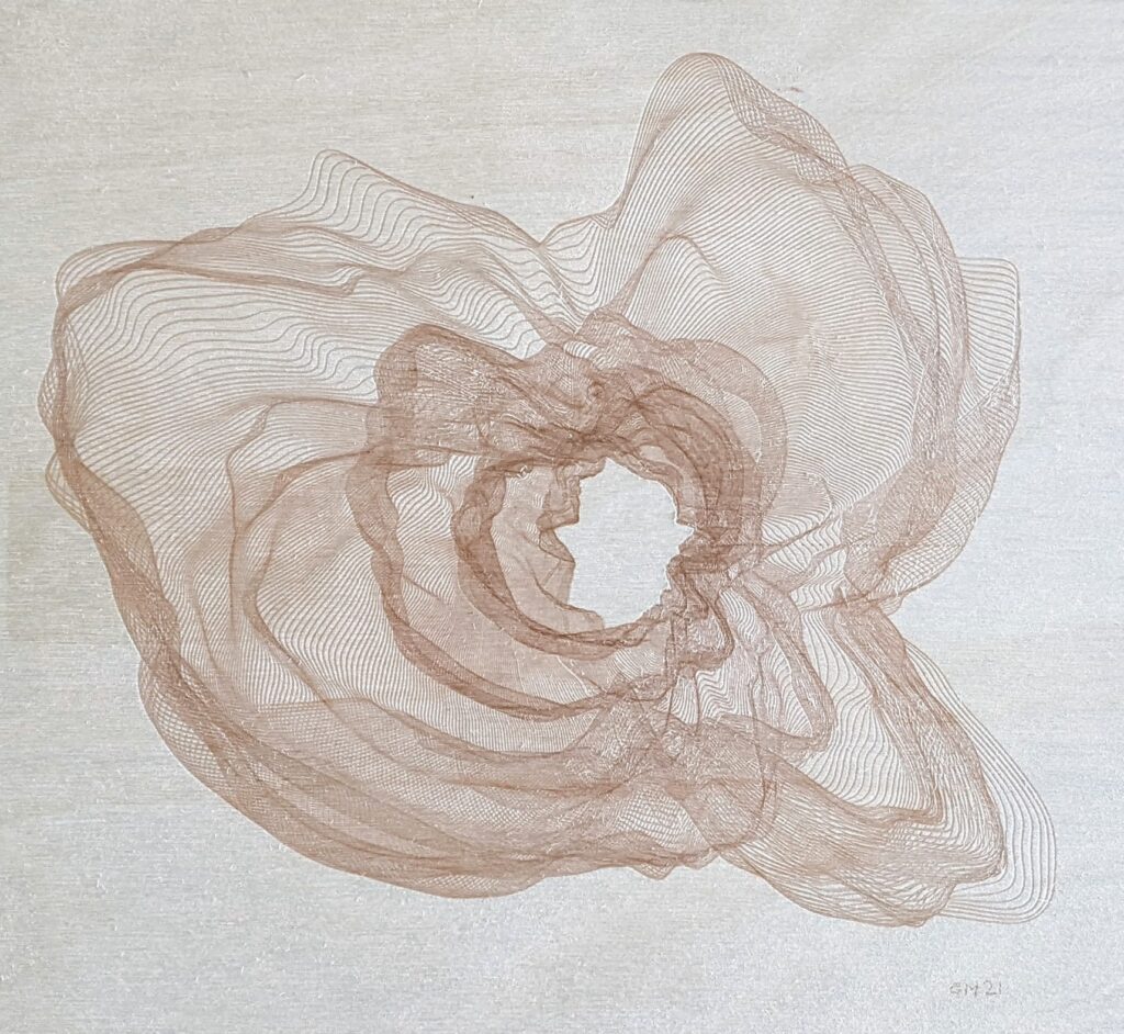
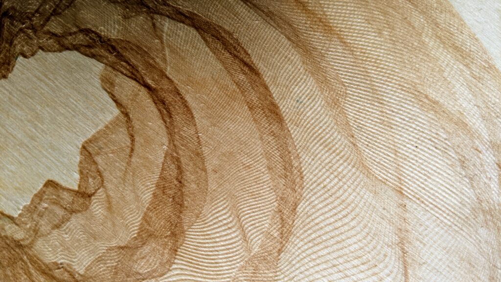
Ok, I promise, last plotterTwitter co-opting wood burning on an axidraw for a while. Testing out these bad boys is getting expensivo. Just some good ol’ perlin-noised rings.